To learn more and participate, visit: https://seafloorexplorer.org
To stay up-to-date on this project:
• follow twitter.comseafloorexp
• connect with facebook.com/seafloorexplorer
• read blog.seafloorexplorer.org
a directory of ways to participate in sea exploration

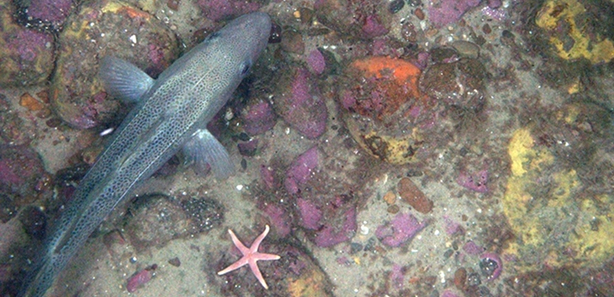
Comb the ocean floor with a treasure trove of seafloor imagery. The Seafloor Explorer project ames to create high-resolution maps of animal habitats, including how animals are distributed relative to their predators and how species distributions change over time. This can help with conservation efforts and better our understanding of ocean habitats.
The photos are collected by HabCam, an underwater mapping vehicle built by engineers and marine biologists from the Woods Hole Oceanographic Institution. Habcam takes millions of photos of the ocean floor along the northeast continental shelf. By revisting the area seasonally each year, Habcam provides the baseline of an exceptional and unique ecological time series. Seafloor Explorer needs contributers to help view the images and help identify species and ground cover.
Public contributors will view images and say whether they see fish, scallops and other organisms, provide basic measurements, and describe whether the seafloor is sand or gravel, and whether they see boulders and other interesting objects in the frame. Along the way, the contributors have a chance to enjoy working with seafloor imagery that has never been seen before, through a unique web interface.
Project owners + coordinators:
The Zooniverse Team, [email protected]
To learn more and participate, visit: https://seafloorexplorer.org
To stay up-to-date on this project:
• follow twitter.comseafloorexp
• connect with facebook.com/seafloorexplorer
• read blog.seafloorexplorer.org